Endangered Species
WildMon uses technology to detect endangered and endemic species, map their distribution and understand how different factors influence their presence in an area. This enables data-driven decision-making for protected area management, conservation interventions, and rewilding efforts.
Monitoring Bornean species of conservation concern
This project aims to provide biodiversity data that enables Indigenous and local peoples to develop effective community-led solutions to address conservation and social issues.
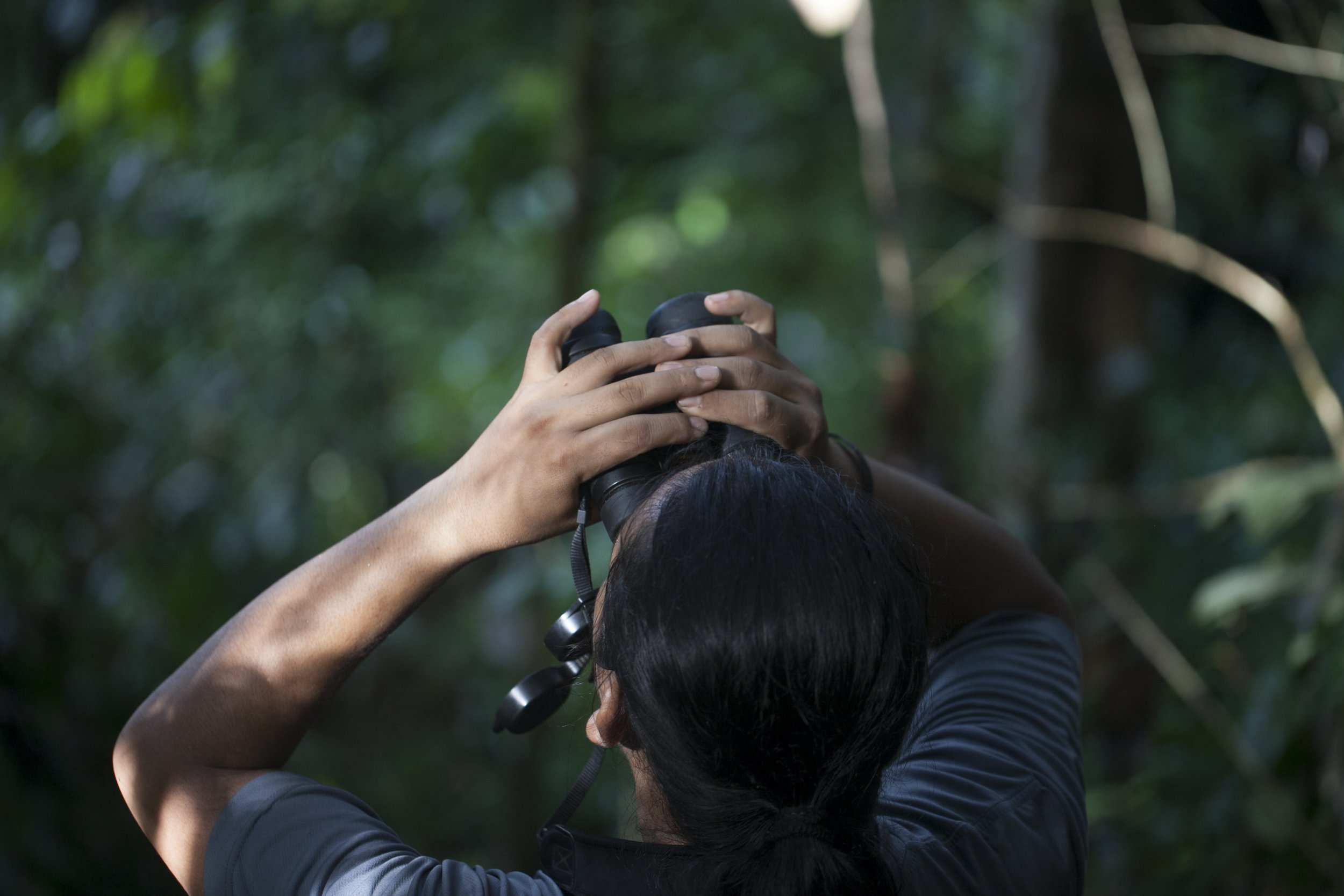
Audio recorders and camera-traps are deployed across the study area, and AI models facilitate automated identification of endangered and high-priority species.
Application
Timeline
Scope
Location
Partner
2024 - ongoing
100 joint camera trap & recorder sites
West Kalimantan, Indonesia
Contributions
Sustainable development
goals
Joint camera trap and acoustics survey design
Hardware (acoustics recorders and camera traps)
Analysis of images and recordings for species detection
Soundscape analysis
Ecological modeling
AI model development & validation
Our project will be carried out in the Gunung Naning forest complex, spanning 229,000ha of primary forest in the heart of Borneo, Indonesia. With local communities and forest monitoring teams, we will deploy camera traps and acoustic recorders at 100 sites across Guning Naning to collect biodiversity data. By using these methods together, we are able to get a comprehensive picture of the region’s biodiversity, capturing both the visible presence of wildlife through images and acoustic signatures of species that might otherwise go unnoticed.
About the project
Overall this will give us and the communities who manage these forests a better understanding of the variety of wildlife in the area and the management techniques needed to protect them. We’ll be focusing on 60 priority species, with a particular emphasis on endangered species such as the Bornean orangutan, Sunda pangolin, Bornean white-bearded gibbon, and helmeted hornbill. After deploying the devices, we will utilize AI models to detect species from camera trap images and sound recordings. We will also conduct soundscape analyses to compare acoustic activity overall between sites. Species detections will be used in ecological analyses to understand how species presence and distribution are influenced spatially and seasonally by different community-led initiatives.
Ziva Justinek
Project Lead, Planet Indonesia
“This is one of the largest rainforests in the world, and its role in supporting biodiversity is crucial. Community-led SMART patrols have done a great job in recording signs of wildlife but currently, communities do not have the data needed to properly protect and manage species. We also have our suspicions that this area is acting as a safe haven for elusive and endemic species, including endangered birds and primates. We are excited to see if we are able to capture any evidence of their presence which will help contribute to their conservation and the protection of this landscape as a whole. Over such a vast and thickly forested area, traditional monitoring patrols and survey methods are almost impossible to conduct. The advances in technology and AI we are seeing now could unlock the secrets of this landscape and help us to truly measure the impact of community-led conservation efforts.”
Impact goals
This project will allow us to assess how community-led initiatives influence wildlife over space and time in West Kalimantan. The Gunung Naning is part of the Arabella-Schanner forest complex, one of the largest tracts of continuous forest in Borneo. This biologically important area hosts the largest remaining Bornean orangutan population and provides habitat for various endangered and endemic species, such as hornbills, gibbons, and pangolins. The landscape is also home to Indigenous Dayak communities, who have nurtured a strong cultural and spiritual connection with the forest and its inhabitants for centuries.
Our partners at Planet Indonesia have built strong relationships with 8 Dayak communities and have together designed and established access to various program services under the community-led governance institutions. These include community-led finance, public health information and services, training on climate-smart agriculture practices, and support to secure land rights through Indonesia’s Social Forestry scheme. The results from our project will inform us on the impact these initiatives have on wildlife. The partner Dayak communities can then use this biodiversity data to make informed decisions about their surrounding natural resources.


